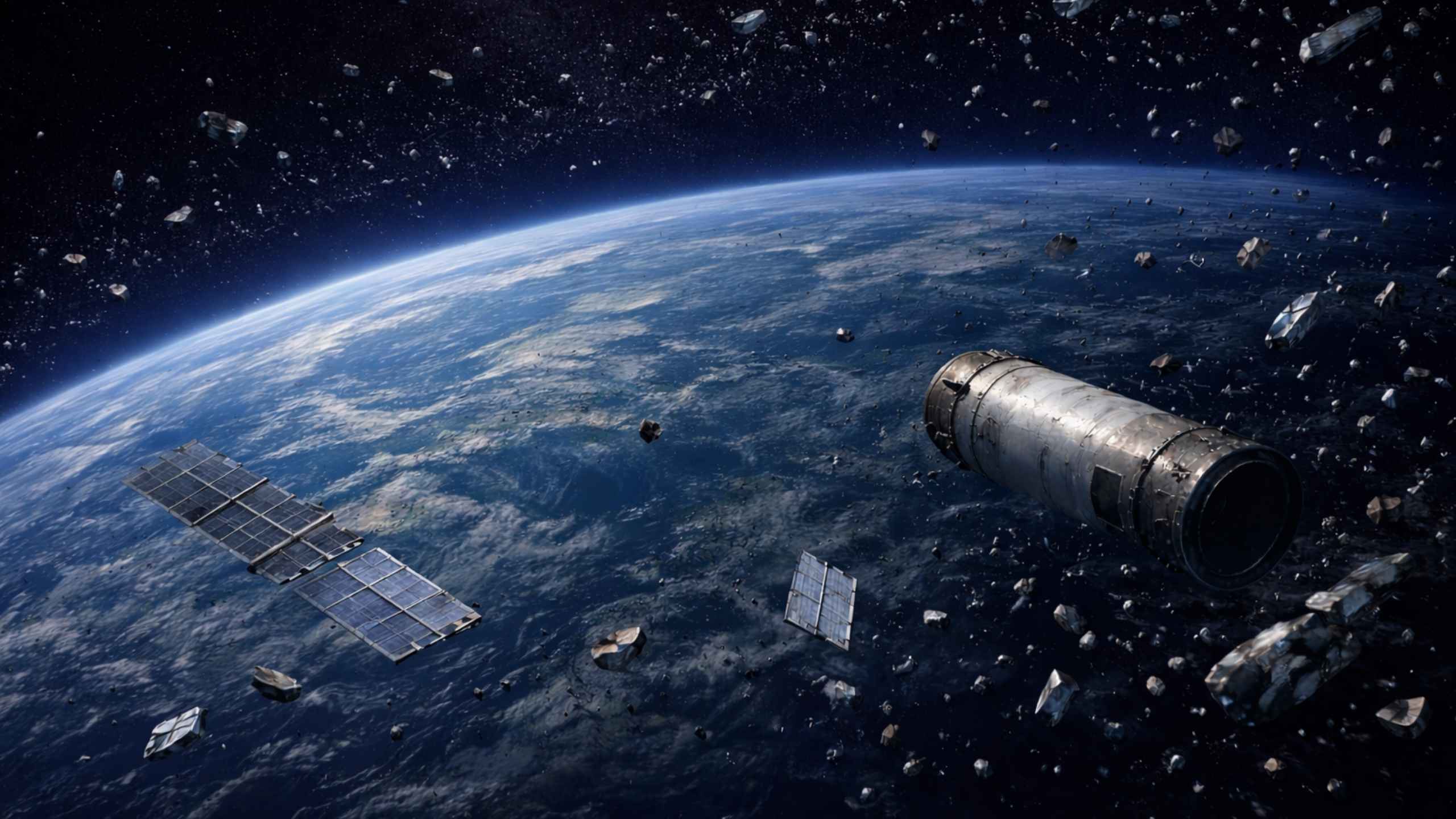
Over the last few years, the pace of planned satellite deployments has accelerated significantly. New constellations, often hundreds or thousands of spacecraft, are announced with increasing regularity, reshaping Space Traffic Management (STM) from a niche concern into a central pillar of space operations. When thousands of active satellites share the same “orbital highways”, interactions become more complex and more frequent: today, roughly 66% of all conjunctions in LEO involve two operational satellites. In such an environment, a single collision can have catastrophic long-lasting consequences, as the well-known Iridium-33/Cosmos-2251 event (2009), the Fengyun-1C (2007) and Kosmos-1408 (2021) ASAT have shown.
Still, STM is only part of the broader challenge. Decades of accumulated debris remain in orbit, and preventing the creation of new debris, through deorbiting guidelines, passivation, discouraging destructive anti-satellite tests, and requiring maneuverability, is becoming more important than ever. Yet mitigation measures like design-for-demise and best practices alone do not sufficiently address the environment operators navigate today. Earth’s orbits already contain more than 54,000 catalogued objects, about 1.2 million fragments between 1-10cm and over 140 million pieces smaller than 1cm, according to ESA statistical models [1]. Beyond emerging active debris removal (ADR) solutions, the most immediate way to prevent further escalation is ensuring timely and effective collision avoidance (CA) maneuvering.
Trackability remains a fundamental limitation: we can only avoid what we can observe. Detecting debris smaller than 10cm is particularly difficult, and improving tracking, including through space-based sensors that reduce blind spots, is a growing priority. Even when objects are tracked, orbit predictions, especially in LEO, can shift quickly due to drag, solar activity, object geometry, or model differences. These uncertainties directly shape operational decisions: how and when to maneuver, and whether a conjunction alert is credible enough to act on.
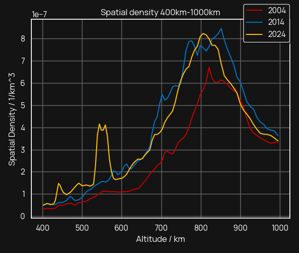
At the recent Space Debris Conference (SDC) in Riyadh, experts from 75 countries underscored the urgency of strengthening international cooperation to preserve long-term orbital sustainability [2]. As part of the DebriSolver competition at SDC, participants examined a one year period in which more than 500,000 Conjunction Data Messages (CDMs) were generated for objects linked to the Long-March 6A fragmentation event, a single break-up in September 2024 that produced thousands of fragments [3]. Of those CDMs, 4% predicted a Time of Closest Approach (TCA) within 24 hours of the first alert, meaning operators might have had only hours to assess risk, coordinate internally, plan, upload, and execute a maneuver. This compresses an already high-pressure workflow into an even tighter window.
And debris is not limited to LEO. The Intelsat 33e break-up in GEO demonstrated that even high-altitude orbits traditionally viewed as stable can experience fragmentation events with long-lived hazards [4]. Space sustainability is a multi-orbital responsibility, and robust debris data is essential everywhere.
For operators, this reinforces the need for timely, accurate SSA data. This is why integrating multiple independent data sources is one of the most effective measures to reduce risk. Within our platform, users get access to a proprietary catalogue that delivers unique insights derived from diverse, high quality data sources, including telescopes, radars, and laser-based sensors. By combining these complementary observation modes, operators benefit from enhanced redundancy, broader coverage, and a clearer understanding of the space environment to support confident decision making.
Connecting Data to Real Operational Decisions
Collision avoidance is not an abstract duty; it is a daily risk management responsibility. Many operators who once performed one CA maneuver per year now conduct one per month, and a typical LEO constellation's satellite performs even three to four maneuvers per month. The scale is striking: in the year ending May 2026, SpaceX reported 355,848 risk mitigation maneuvers by Starlink satellites alone (roughly 46 per satellite per year) while Amazon's Kuiper LEO constellation logged over 4,000 in the same period [5]. With thousands of maneuvers executed across the industry each month, conjunction management is now a routine operational burden, especially in congested regions or after fragmentation events.
In this context, high-quality debris data directly shapes maneuver decisions. It influences whether a maneuver is necessary or avoidable, determines the delta-V required without compromising mission lifetime, and guides the timing of action, balancing early mitigation opportunities with the uncertainty inherent in long horizon predictions. Operators increasingly rely on cross verified information from multiple sources to validate conjunction credibility.
The OKAPI:Orbits Perspective
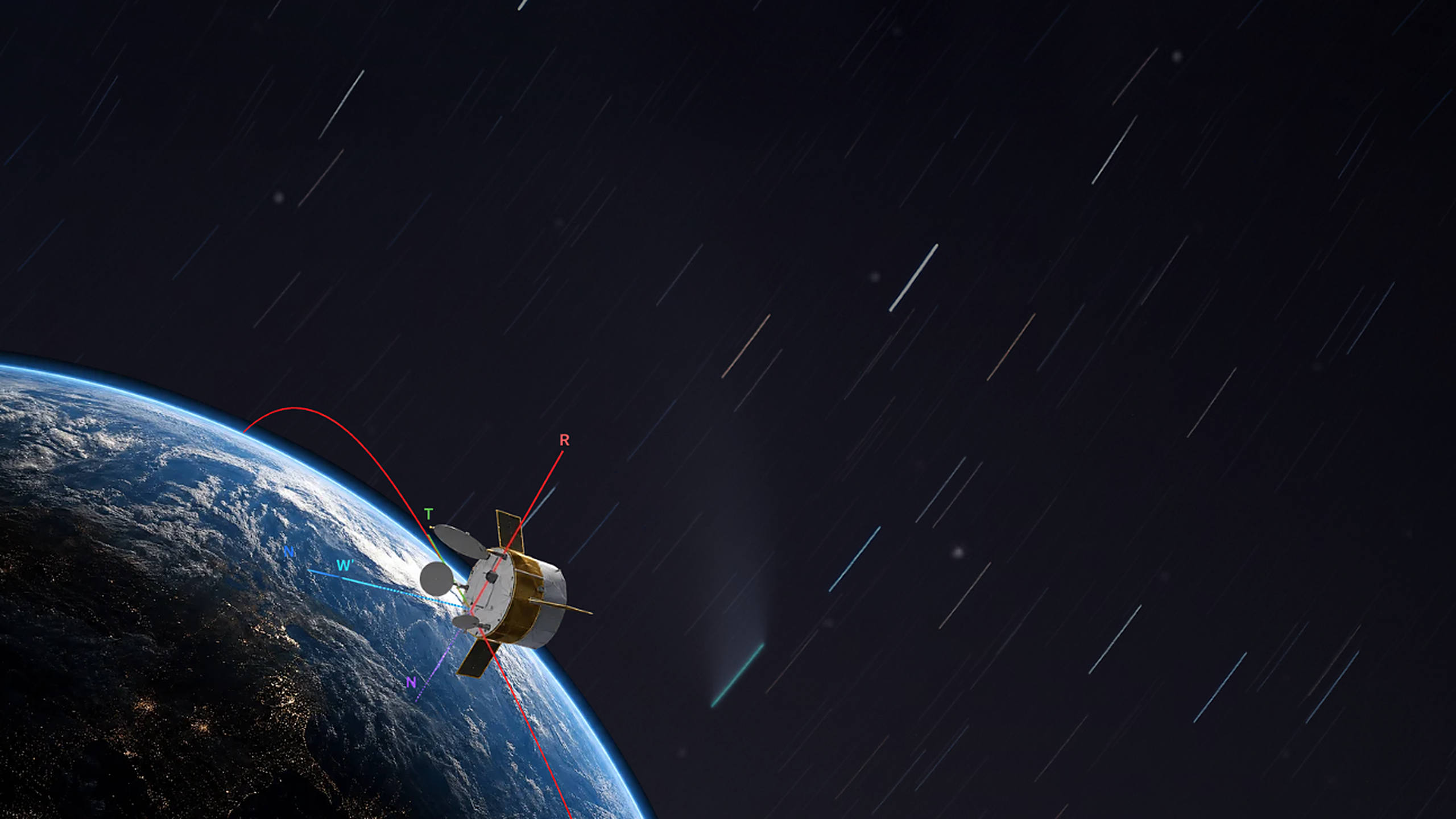
For OKAPI:Orbits, supporting collision avoidance means supporting the people making these decisions every day. Operators work under tight timelines and imperfect information, balancing risk, mission continuity, and operational constraints. The community is steadily moving toward more autonomous operations: leveraging AI, predictive modeling, and automated maneuver planning; but these systems are only as reliable as the clarity of the underlying data and processes. By providing access to multiple data sources, transparent analytics, and decision focused guidance, we aim to act as a steady partner and contribute to a safer, more sustainable orbital environment.
If you’re operating or planning to operate satellites or constellations and want to learn how multisource SSA data and decision-centric workflows can support your missions, please reach out to info@okapiorbits.com.
References:
[1]: Space Environment Statistics · Space Debris User Portal
[2]: Space Debris Conference 2026
[3]: DebriSolver – Space Debris Conference 2026
[4]: Intelsat 33e breaks up in geostationary orbit - SpaceNews
[5]: SpaceX and Amazon semi-annual FCC filings (June 2026), available at https://fccprod.servicenowservices.com/
.jpg)

